Story map: Port-Royal Journal

Pre-expulsion Acadian population centres where most or all parish records were lost.
Mapannapolis.ca began as a New Horizons grant application, a seniors led-and-inspired community mapping project in the Spring of 2012.
Nova Scotia Community College’s (NSCC) Centre of Geographic Sciences (COGS)---in Lawrencetown, Annapolis County---was a community asset that fired our imagination.
Would Mapannapolis bring County communities together with students and instructors from COGS, and make maps about where we all lived?
Oh, yes.


These maps are just three of the projects created early on by volunteers, turning their ideas into digital maps.
More followed.
Recently: Port-Royal Journal.
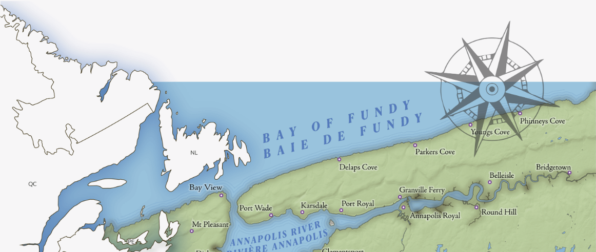

Port-Royal Journal: stories of Acadians from up and down the River in what the British would name Annapolis County but they knew as Port-Royal. The Port-Royal Journal reveals everyday community stories in the half-century leading to the Deportation. Based on An Acadian Parish Remembered, the Registers of St. Jean-Baptiste Church, Annapolis Royal 1702-1755.
This story map, with French and English text, is here.